
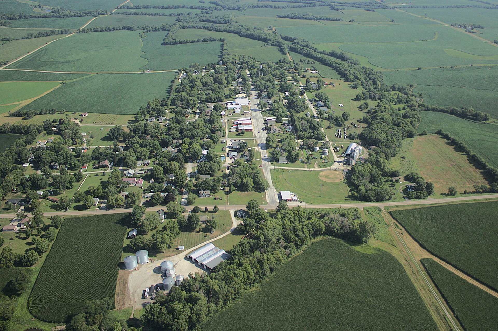
Aerial Photography Services
See Your Property from a New Perspective
Flight Training Falls City now offers aerial photography for farms, fields, acreages, and homesteads throughout the surrounding area.
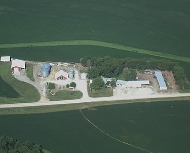
Using a handheld high-resolution camera from our aircraft, we capture clear aerial photos that provide a unique view of your land, crops, buildings, and property.
Whether you want a current look at field conditions, documentation after a storm, or a framed photo of your family farm, we can create a customized photo package for you.
Aerial photo packages start at $300.
Our services
Aerial Farm and Field Photos
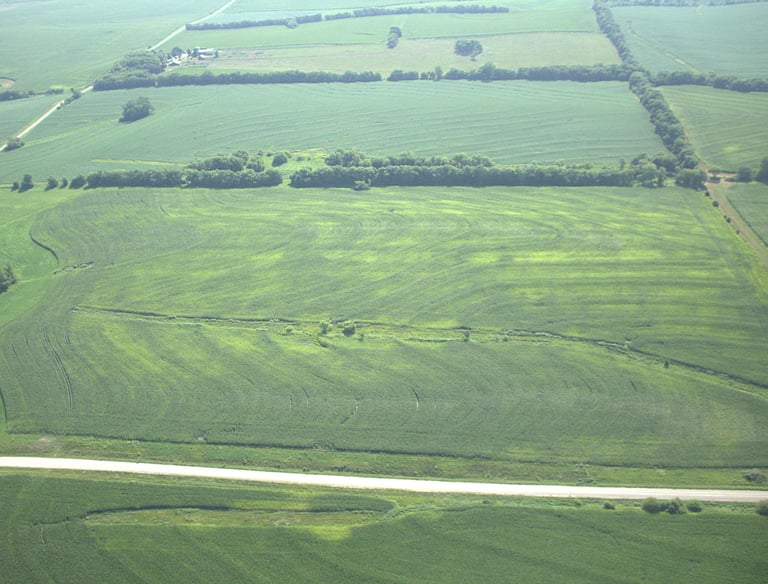
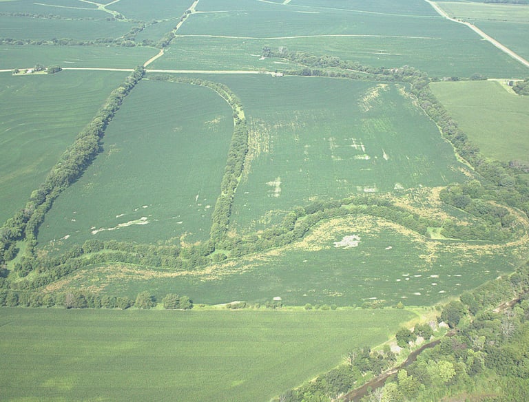
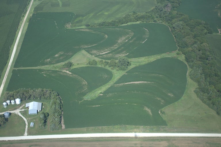
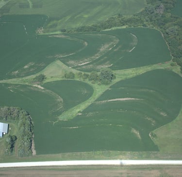
A view from the air can reveal details that are difficult to see from the ground. Our aerial photos can help provide a clear visual overview of your property and fields.
Photos may be useful for:
Viewing overall crop and field conditions
Identifying visible bare or damaged areas
Spotting standing water or obvious runoff
Documenting wind, hail, or storm damage
Tracking visible changes throughout the growing season
Capturing multiple fields during one flight
This service provides standard aerial photography and visual documentation. It is not a replacement for precision agriculture, thermal imaging, multispectral imaging, or professional survey work.
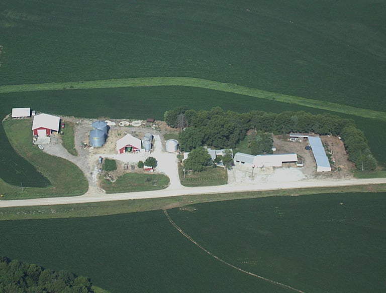
Homestead and Property Photography
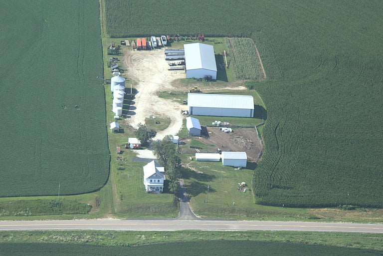
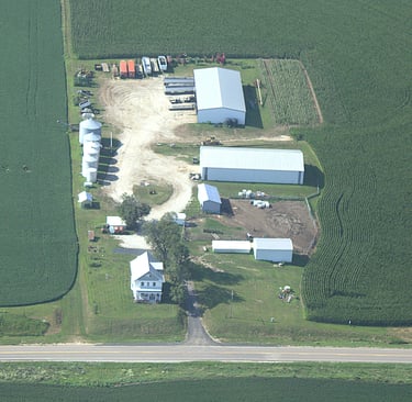
Your farm, acreage, or family home deserves to be remembered from a perspective few people ever get to see.
We can photograph:
Family farms
Rural homes and acreages
Barns and outbuildings
Ranches and livestock properties
Commercial properties
Construction or renovation progress
Properties being prepared for sale
Digital images are available for personal use, printing, sharing, or marketing. Framed print options may also be available for customers who want a finished display piece.
Aerial property photos also make meaningful gifts for birthdays, anniversaries, retirements, holidays, and family milestones.
After severe weather, aerial photos can provide a broader view of visible damage across fields and property.
Depending on conditions and availability, we may be able to photograph:
Wind-damaged crops
Hail damage
Flooding or standing water
Damaged roofs or outbuildings
Fallen trees
Debris patterns
Washed-out areas or visible runoff
Our photographs are intended to provide visual documentation only. We do not perform inspections, damage assessments, surveys, or insurance evaluations.
Storm Damage Documentation
How It Works
Each project is customized based on the location, size of the property, number of fields, and estimated flight time.
A typical aerial photo package may include:
Preflight planning
Aerial photography of the requested property
Multiple views and angles when conditions allow
High-resolution digital images
Basic photo editing and image enhancement
Online or electronic image delivery
Packages start at $300. Larger properties, multiple fields, distant locations, or projects requiring additional flight time will receive a custom quote.
What Is Included?
1. Tell Us About Your Property
Send us the property location, the areas you want photographed, and the purpose of the photos.
2. Receive a Quote
We will estimate the required flight time and provide pricing before scheduling the project.
3. We Schedule the Flight
Flights are scheduled around weather, visibility, aircraft availability, and local operating conditions.
4. Receive Your Photos
After the flight, we will review and prepare the best images for delivery.
Important Information
Aerial photography is dependent on safe flying conditions. Flights may be rescheduled due to wind, low visibility, storms, airspace restrictions, or other safety concerns.
Photo quality may also be affected by haze, cloud cover, sun position, vegetation, smoke, and seasonal conditions.
We will always prioritize safety and work with you to select the best practical opportunity for your project.
Request an Aerial Photography Quote
Ready to see your farm, fields, or property from above?
Contact Flight Training Falls City with the property location and a brief description of what you would like photographed. We will review the project and provide a customized quote.
Aerial photo packages start at $300.
Connect
Get in touch for flight training inquiries.
Alex@flighttrainingfallscity.com
(402) 883-0546
Richardson County, Nebraska
© 2025. All rights reserved.